| |
 |
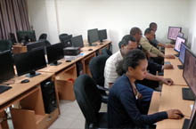
GIS, Remote Sensing (RS) & Information Technology
GeoSAS utilizes state-of-the-art GIS and RS technologies to solve spatial problems. It also provides geo-data processing, cadastral mapping, standardization services and technical support for researchers applying GIS and RS technologies.
|
|
|
| |
 |
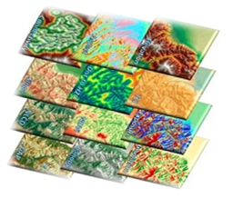
Environment and Climate Change
GeoSAS has developed extensive experience in conducting research and studies in the fields of environment and climate change. The company has expertise in the monitoring and assessment of climate change related challenges, and the designing of adaptation and mitigation strategies.
|
|
|
|
| |
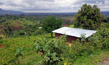 |
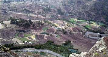
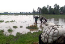
Agriculture and Rural Development
The improvement of agricultural sector performance and rural transformation are critical components to ensure food security and economic development as a whole. GeoSAS provides services in sustainable agriculture, natural resource management and rural development through undertaking research and designing projects of a specific and integrated nature as well as monitoring, assessment and evaluation of such projects and programmes.
|
|
|
|
| |
 |
Health and Nutrition
Poor health and malnutrition are major challenges for socio-economic development. Understanding their underlying causes is essential to crafting and implementing sustainable programs to combat these challenges. GeoSAS provides services in this area through undertaking research and assessment on issues related to public health and nutrition.
|
|
|
|
| |
 |
Disaster Risk Management and Food Security
GeoSAS senior experts were involved in the historical Ethiopian hazard mapping and baseline livelihoods profile development. Working alongside the former Disaster Prevention and Preparedness Agency (DPPA), currently called Disaster Risk Management and Food Security Sector, its core staff played critical role in drafting the Ethiopian Disaster Risk Management Policy, assessing food security at various levels, and reviewing and evaluating different early warning systems in the country.
|
|
|
|
|